

Web application
2024
Least cost itinerary
An interactive app that estimates the fastest walking route between two points in rural Madagascar, using elevation and surface roughness instead of straight-line distance.
Cartography · GIS · Open data
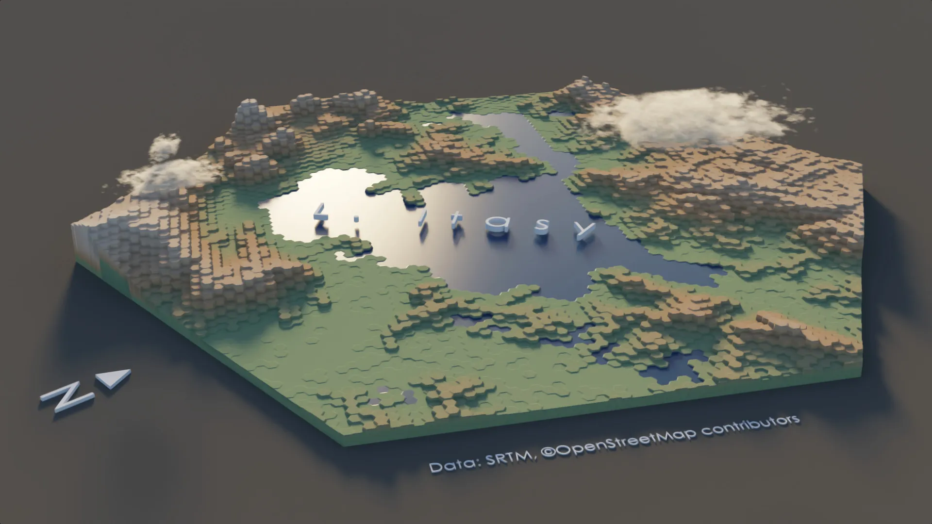
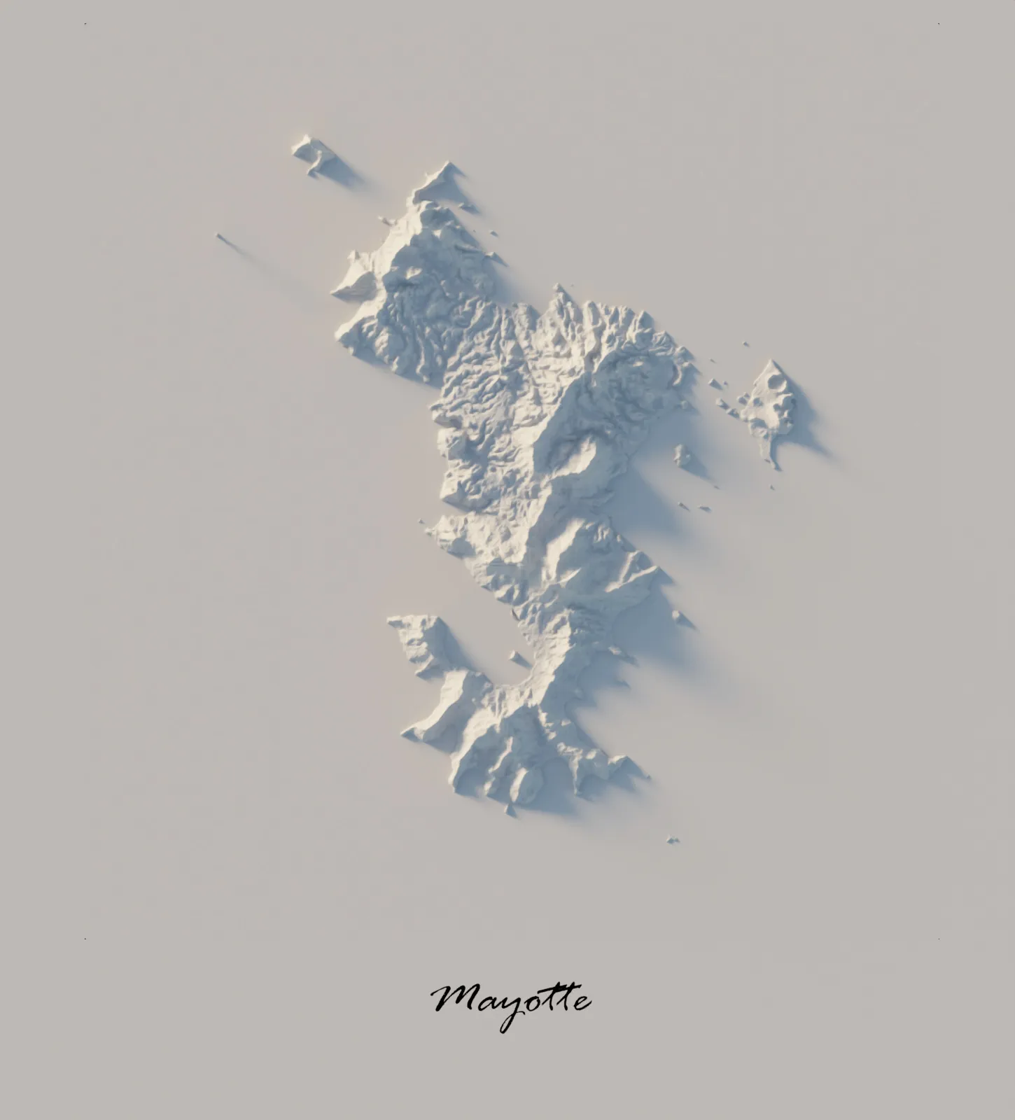
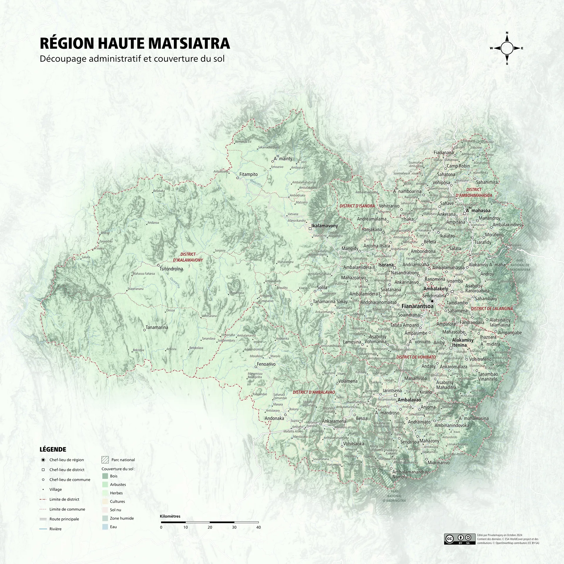
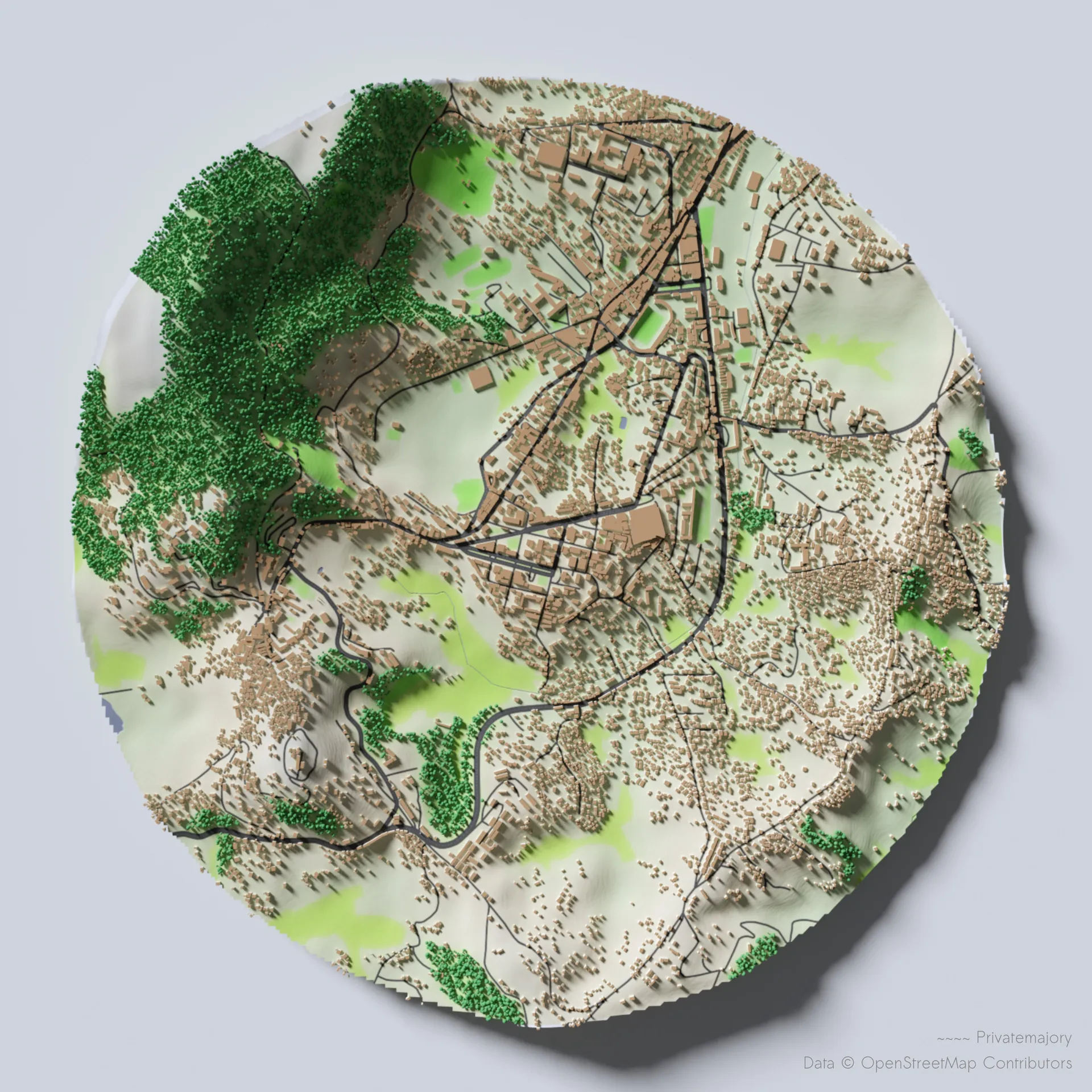
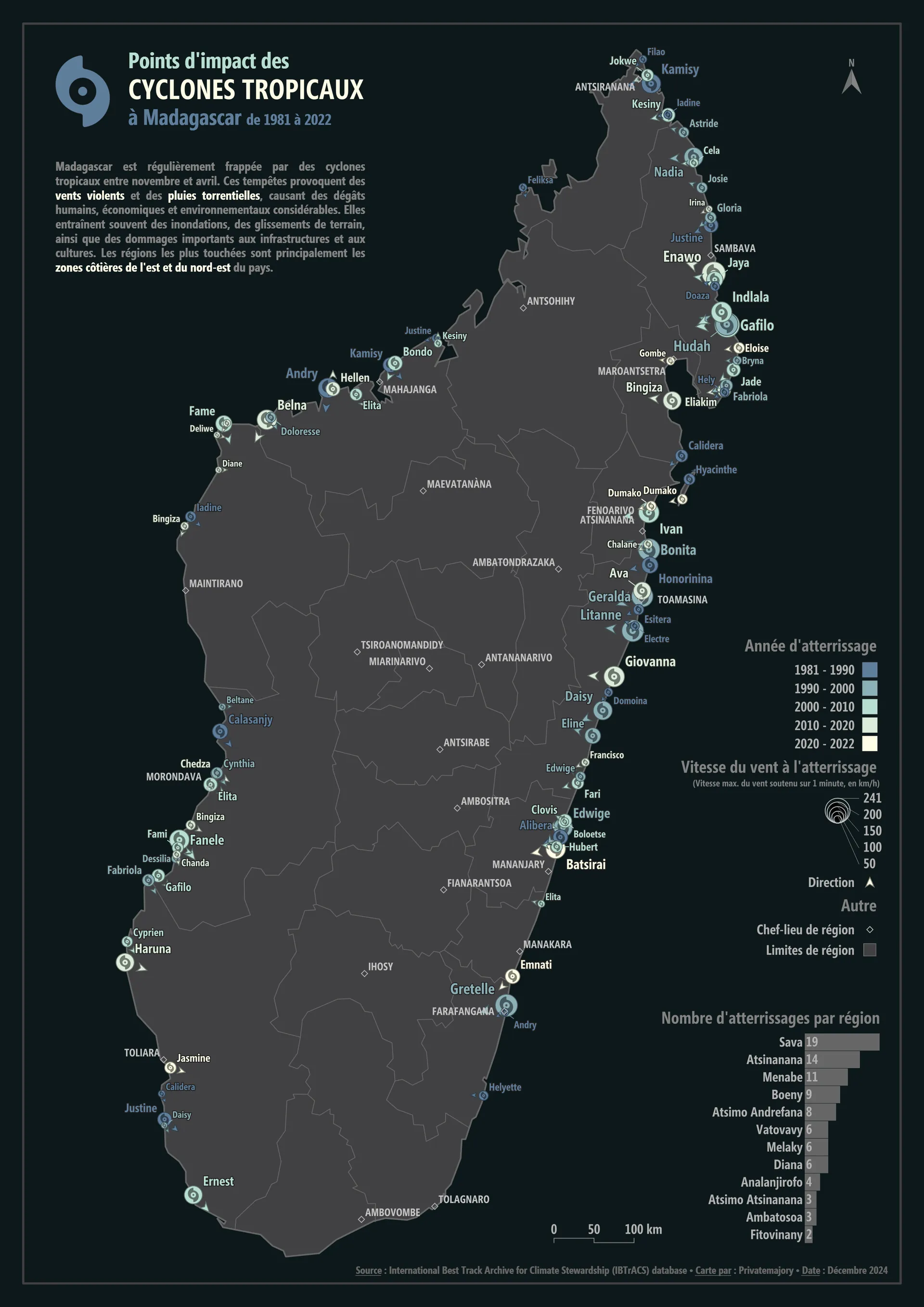
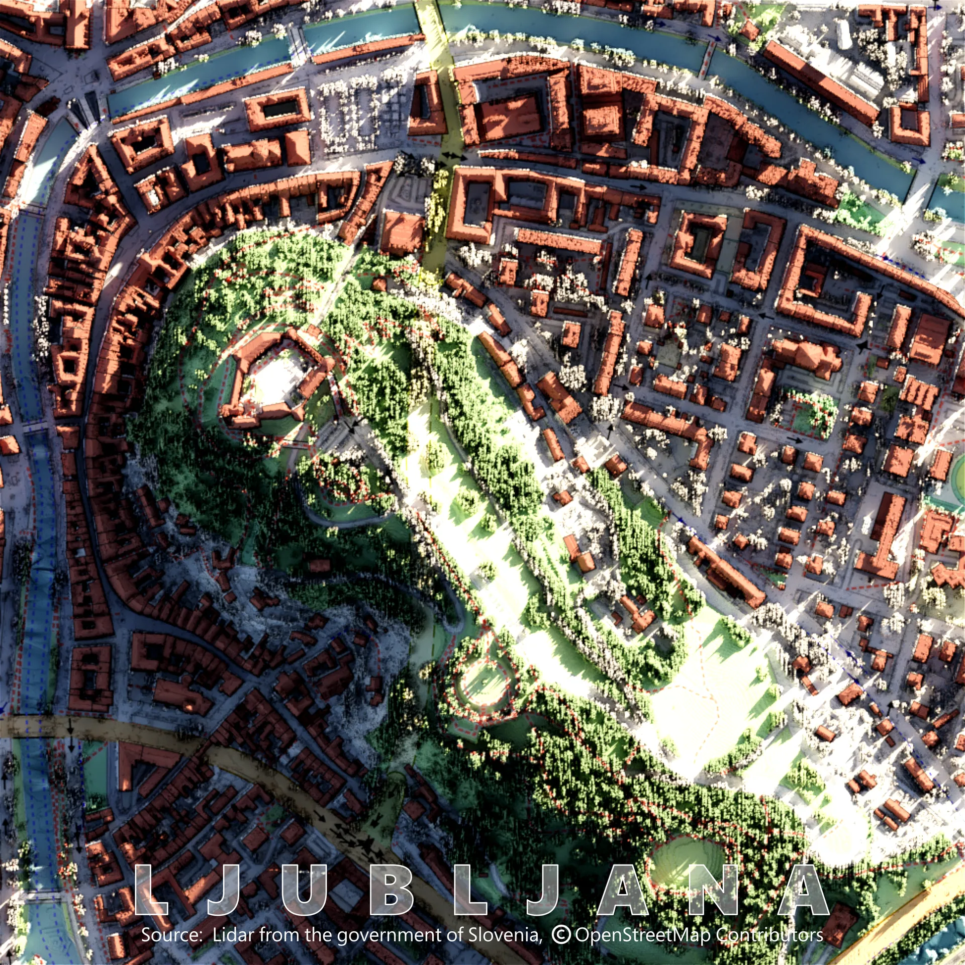
I turn geographic data into maps that explain a place, from relief studies in Madagascar to city-scale web maps.
My work starts with a place. Relief and terrain, accessibility, settlement patterns, the quiet data problems behind a map. The tools exist to make those things legible, not the other way around.
The maps are made with QGIS, Blender, Python and open data. The web applications are small, focused tools built around a single geographic question.
Selected work
Web applications
An interactive app that estimates the fastest walking route between two points in rural Madagascar, using elevation and surface roughness instead of straight-line distance.
Open data
Lakes, schools, power plants, roads and population, all free to download and reuse.
Every Bank of Africa branch in Madagascar, with address, phone number and e-mail.
Power plants with type, operator, installed capacity and coordinates.
A non-exhaustive list of Madagascar's lakes with location, area and polygon geometry.
Public lycées across Madagascar, listed by district.
Contact
Maps, data work, or a small web tool. Tell me what you are trying to see.
Write to me apps.privatemajory.top